
Project summary
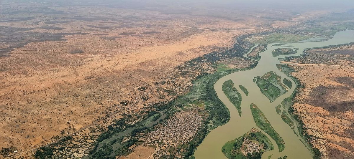
The Niger River Basin is a vital natural resource for over 160 million people across nine countries in West Africa. But the basin is increasingly vulnerable to extreme weather events: frequent floods, prolonged droughts, and advancing desertification now threaten food security and biodiversity. In this climate-sensitive region, the Niger Basin Authority (NBA) partnered with Dutch specialists EARS Earth and Environment Monitoring (now eLEAF) and UNESCO-IHE to launch a powerful climate resilience tool—a satellite-based system that monitors water availability, forecasts river flows, and provides early warnings for climate-related disasters.
Known as SATH, the system uses the Meteosat-based Energy and Water Balance Monitoring System (EWBMS), to deliver near-daily water balance data at 3km spatial resolution for the entire Niger River basin. Installed at the NBA headquarters in Niamey, Niger, and shared with all nine basin countries—Benin, Burkina Faso, Cameroon, Côte d’Ivoire, Guinea, Mali, Niger, Nigeria, and Chad—it combines advanced models for drought monitoring, flood forecasting, and crop yield prediction. A digital bulletin and web platform ensure timely insights for decision makers.
Satellite monitoring systems require high upfront costs, as well as substantial operation and maintenance costs, making it difficult to fund such initiatives through local budgets alone. By making the development and long-term viability of the SATH system possible, the grant enabled the implementation of the system and supported institutional capacity building and information sharing to ensure the system could be operated and maintained locally.
Today, 380 institutional users across the region rely on SATH, with nine trained operators running the models and interpreting results. Complementing existing ground-based systems, SATH offers a scalable, cost-effective solution for climate monitoring across the Niger River Basin. By equipping policymakers, water management authorities and civil protection agencies with real-time, actionable data, it strengthens climate resilience and supports smarter planning for agriculture, water infrastructure, and disaster preparedness.
Our Impact
Adapting to Climate Change
Advanced early warning systems for floods and droughts help the NBA countries respond faster and build long-term climate resilience.
Data-driven water system management
Daily satellite water and forecasting data improves water governance, supporting better planning for agriculture infrastructure planning and investments and urban needs.
Local Jobs and Skills
The project creates permanent jobs and trains regional experts, strengthening institutional capacity at the Niger Basin Authority.
Dutch Hydrological Innovation in Action
Advanced satellite technology offers a scalable, cost-effective alternative to traditional water monitoring in West Africa.
More information about this case

